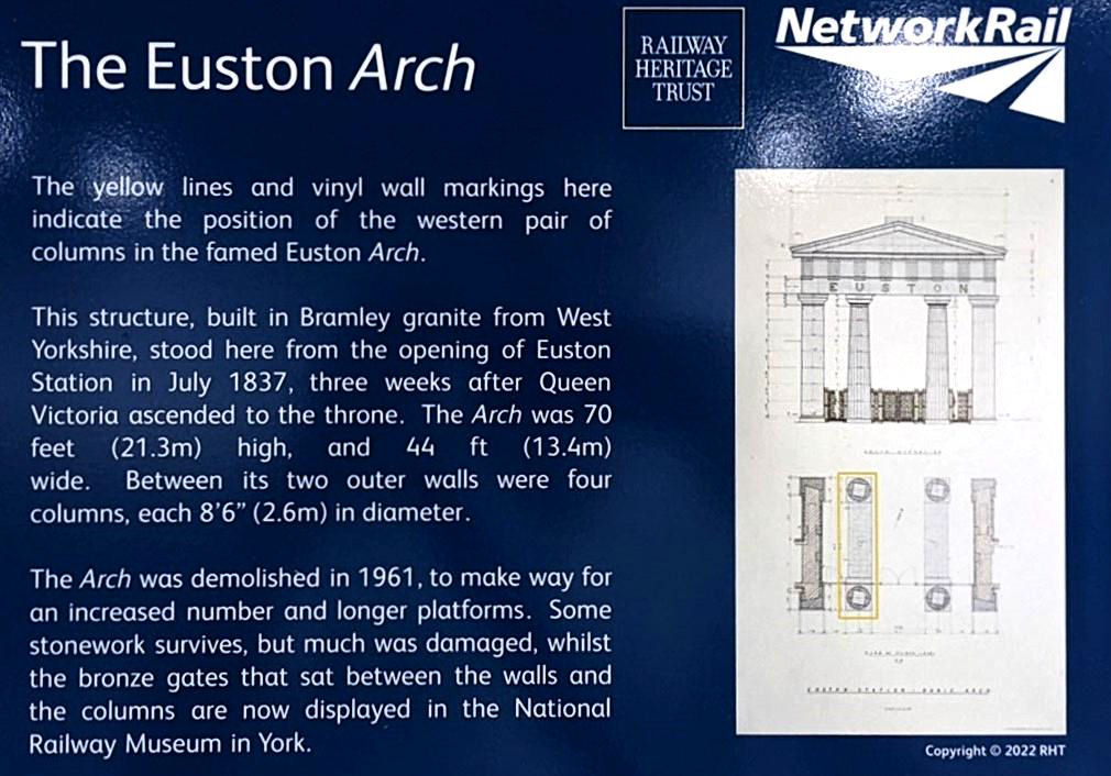
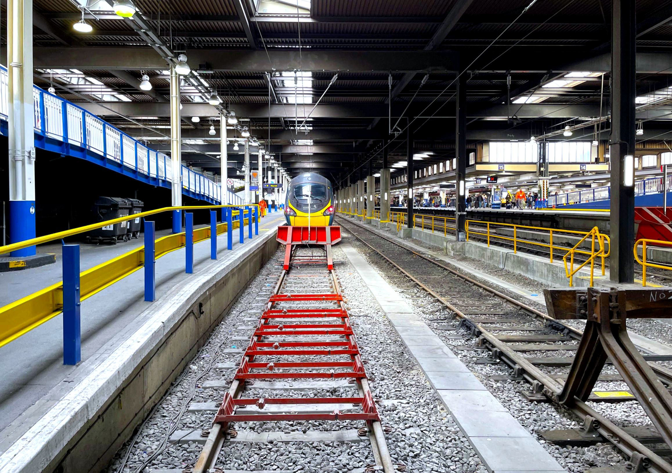
10 members assembled at the designated meeting point on the station concourse and our guide, BLS member Adam Turner from NR, went through the visit schedule. It included the location of the former Doric Arch relative to the modern station, the sub-surface basement areas, the former upper level parcel deck area and outside on the piazza, Euston Road and Eversholt Street. We all signed in, received our visitor passes and a short safety briefing, then went down the ramp to P8-11. On the P8 side there are yellow lines and vinyl wall markings showing the position of the western pair of columns of the former Doric Arch.
Plaque commemorating the Euston Arch.
[© Adam Turner/Malcolm Rose 2024]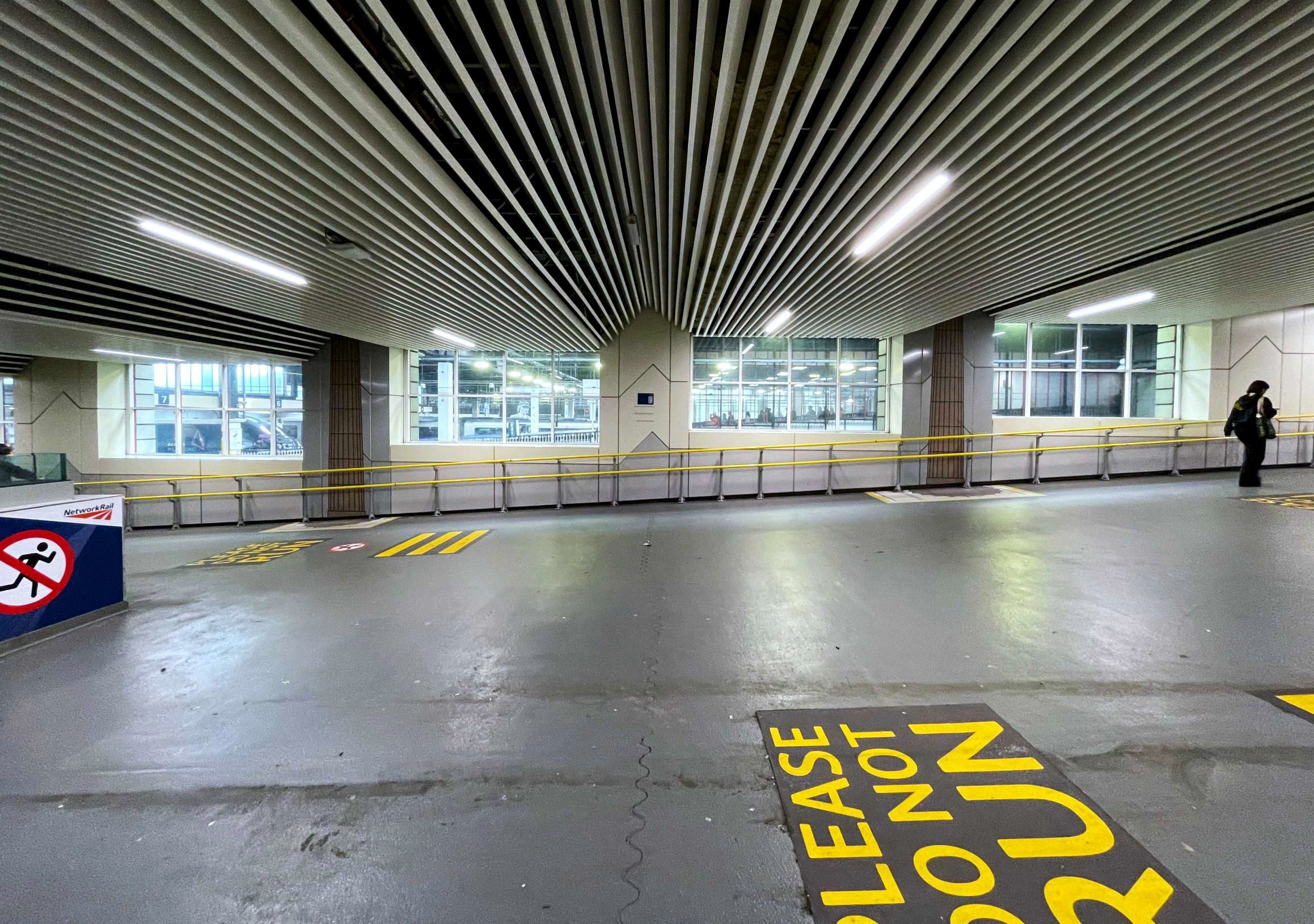
Yellow lines and vinyl wall markings showing the position of the western pair of columns of the former Doric Arch.
[© Adam Turner/Malcolm Rose 2024]Adam showed us photos of the Arch, the original train shed and later Great Hall with the Stephenson statue, the staircase to the shareholders room and the sculptures that were above the entrance doors.
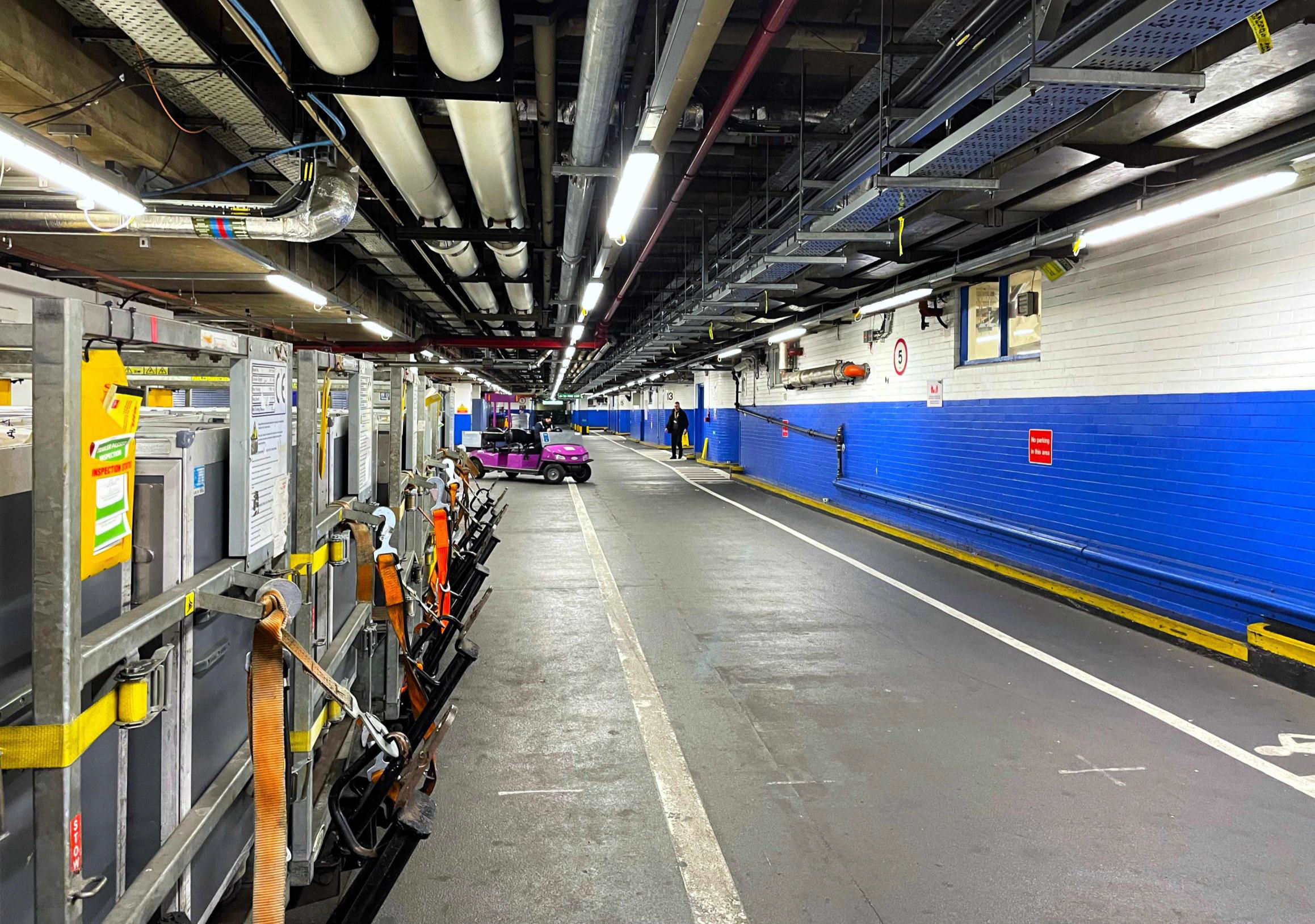
Along with our NR station guide (Darren), we then descended to the sub-surface level where there is a passageway running the width of the building from Eversholt St to Melton St. In it are station facilities for staff and equipment (the station mobility buggies have their batteries charged and are parked here when not needed). Next, our group descended further to the former taxi rank and car park area, where Darren explained how the taxi drop-off and pick-up system worked. Passengers once used this area to access and egress the station car park and Underground station; it even includes flood gates! There is still a service road for deliveries from a gate on Eversholt St running across the width of the station.
The passageway running the width of the building from Eversholt St to Melton St. A station mobility buggies is parked in the distance.
[© Adam Turner/Malcolm Rose 2024]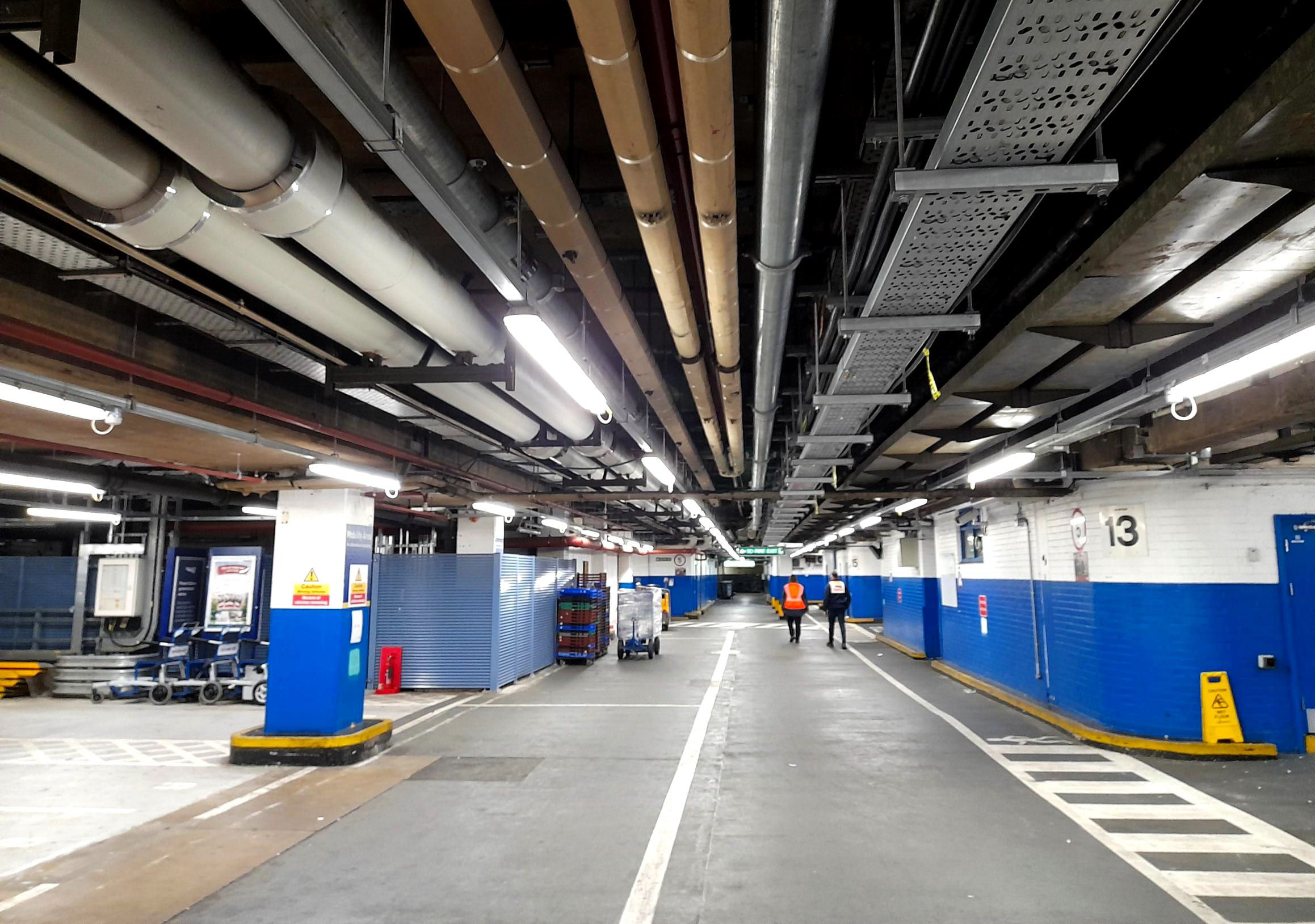
the passageway running the width of the building from Eversholt St to Melton St.
[© Adam Turner/Malcolm Rose 2024]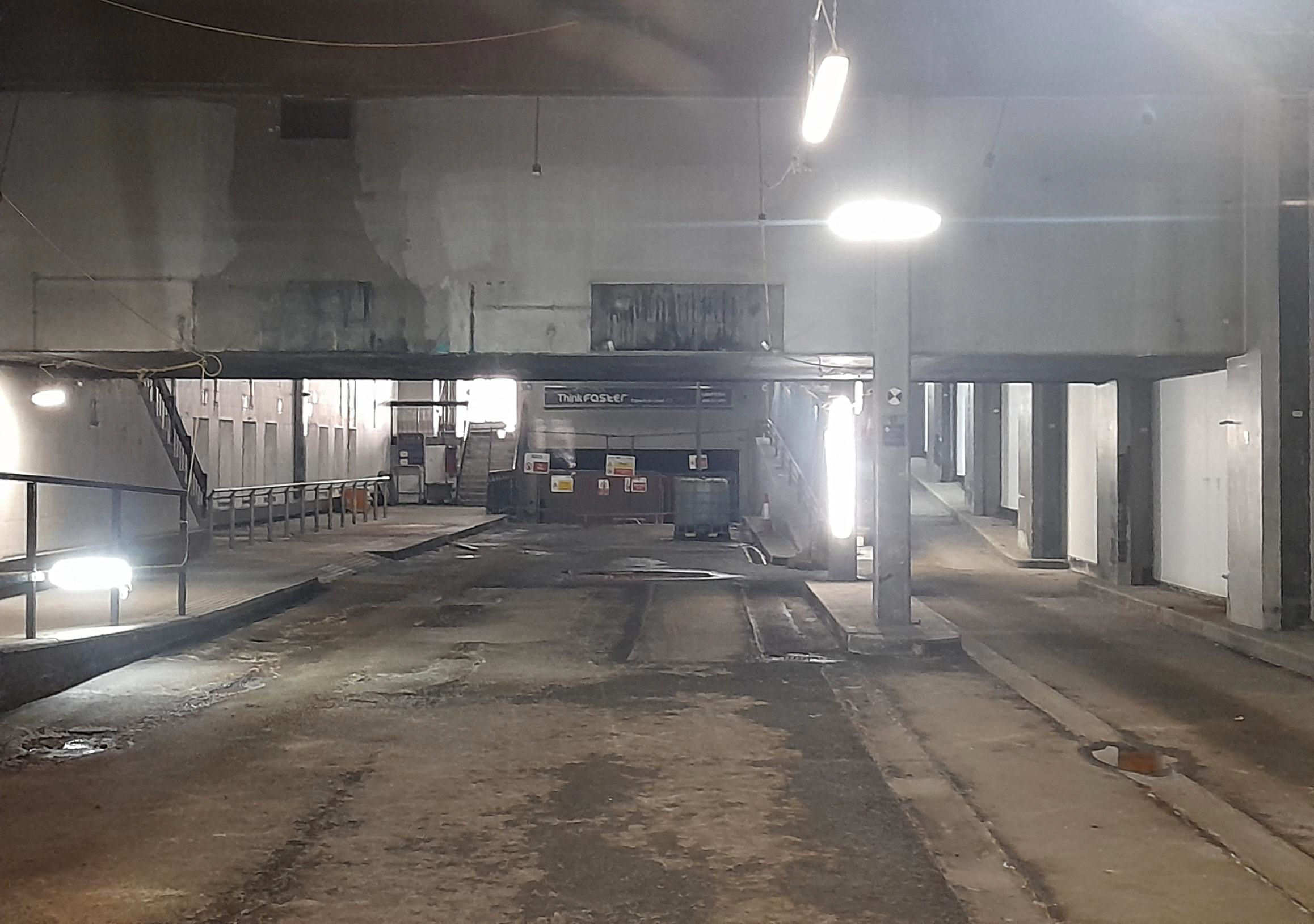
The former taxi rank and car park area.
[© Adam Turner/Malcolm Rose 2024]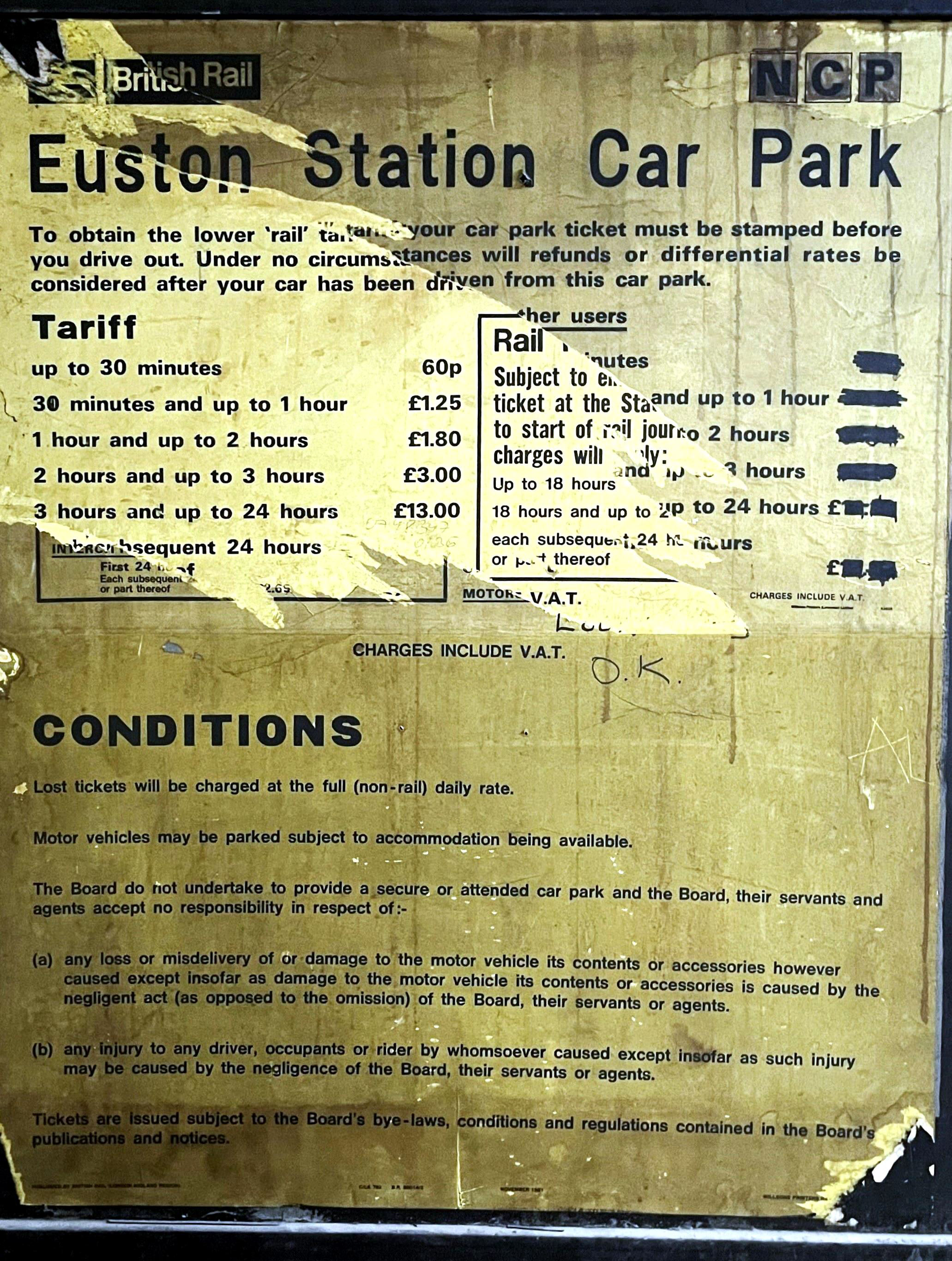
Former Euston Station car park sign
[© Adam Turner/Malcolm Rose 2024]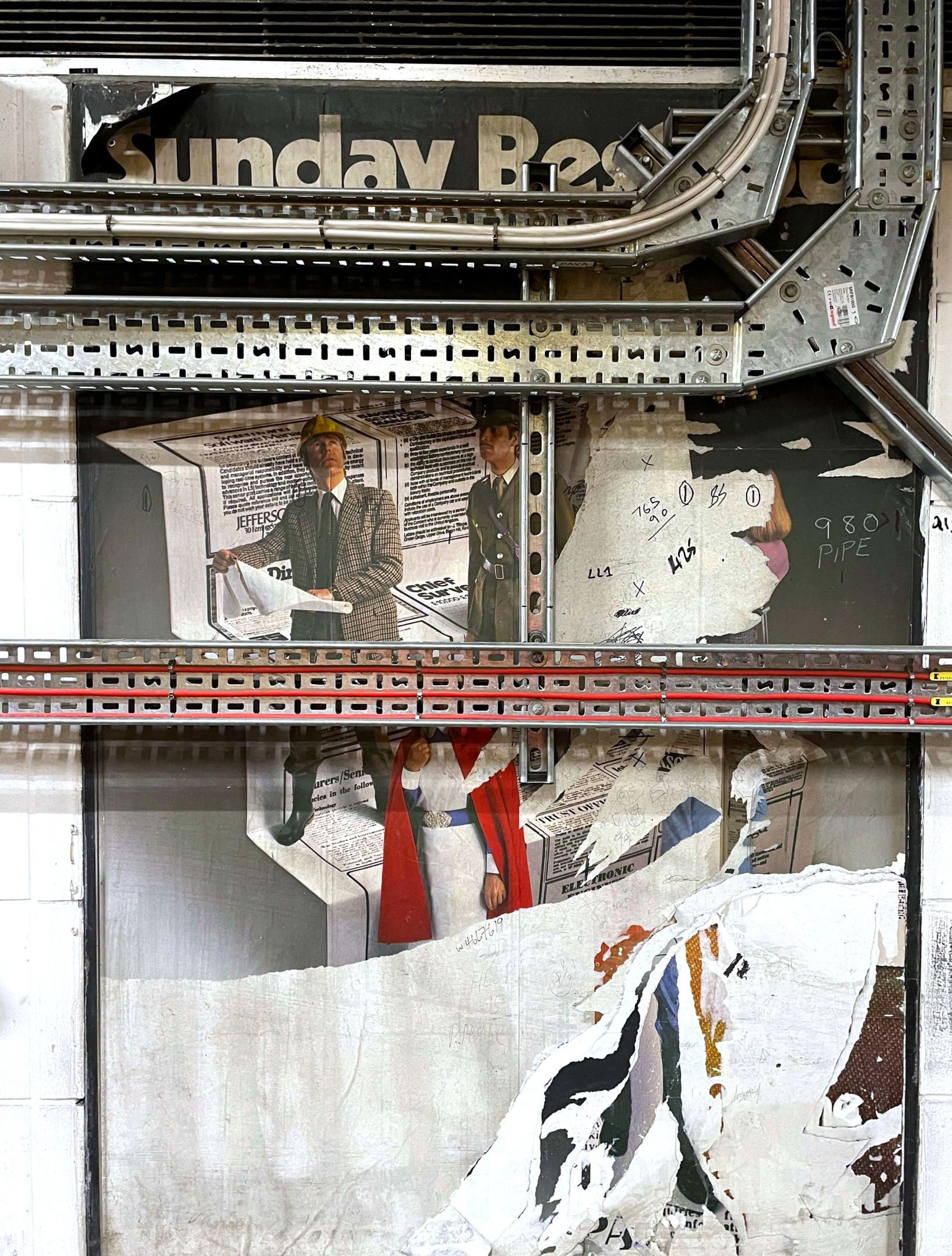
Still in the subway at Euston station...
[© Adam Turner/Malcolm Rose 2024]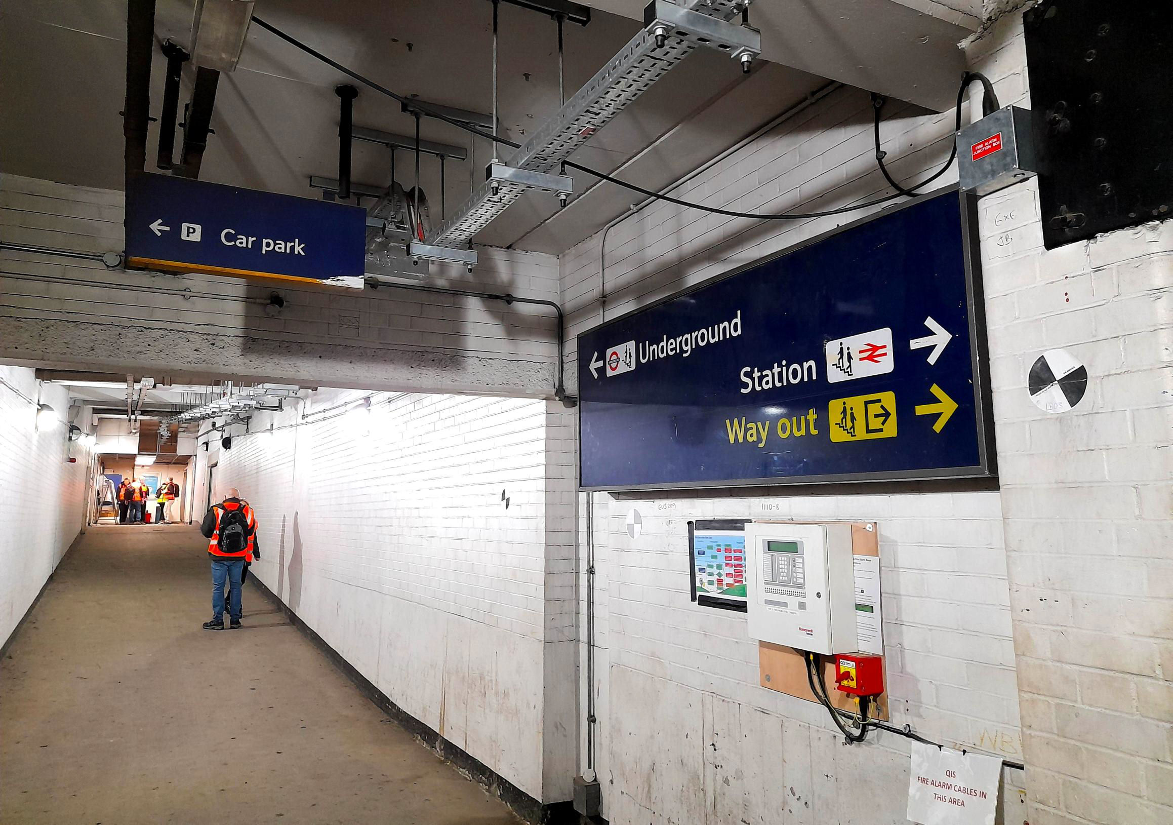
In the subway at Euston station...
[© Adam Turner/Malcolm Rose 2024]We then ascended, for a change, via a ramp from P16 to the former upper level parcels area (designed to maximise the space below for passenger facilities), originally with lifts down to most platforms. Now it houses operational facilities for station service providers. We were shown areas where BRUTEs* were positioned by postcode areas - destinations were painted onto the floor. (*British Railways Universal Trolley Equipment, these distinctive blue hauled trolleys were in use from 1964 until 1999.)
Looking towards P16.
[© Adam Turner/Malcolm Rose 2024]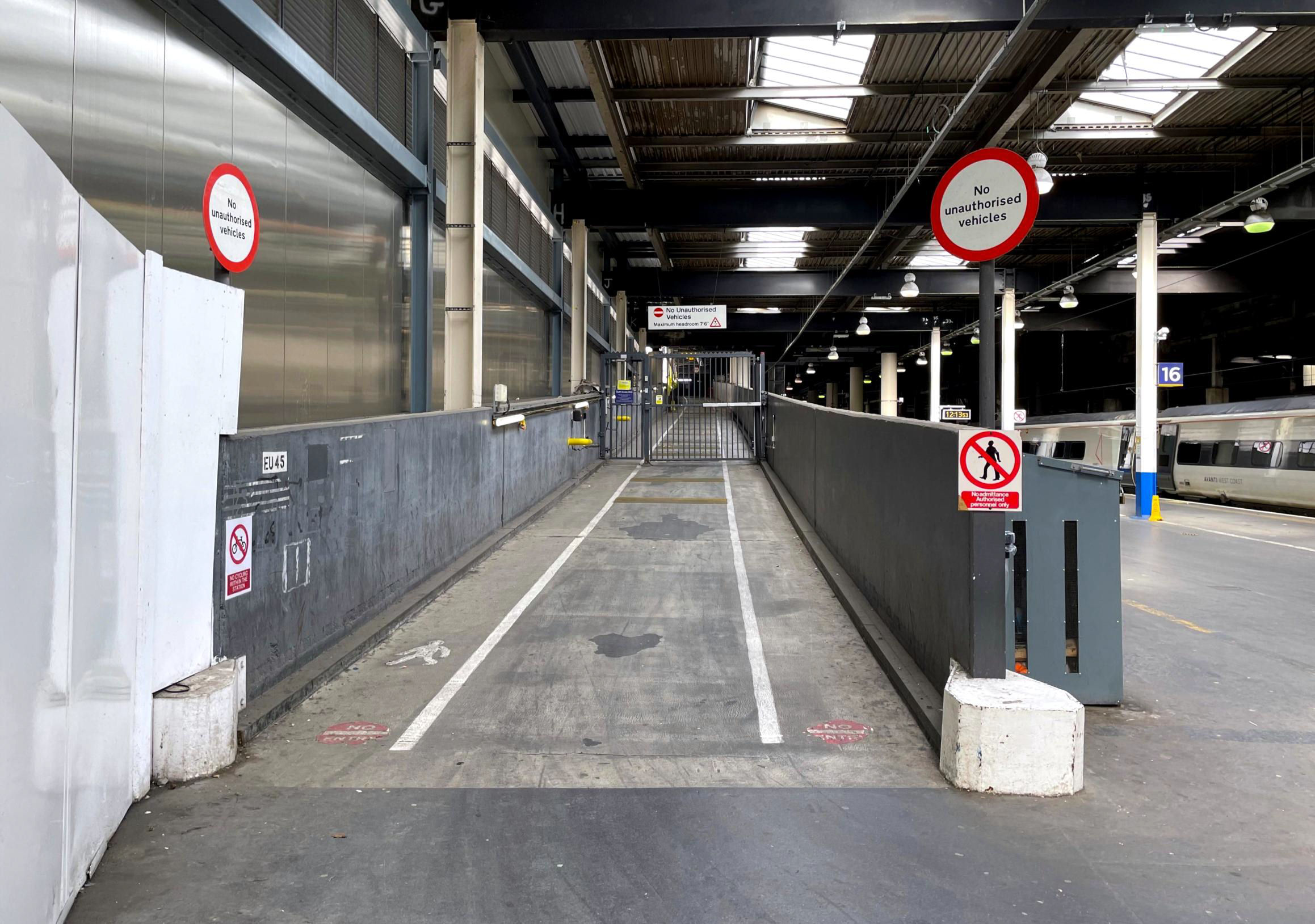
Ramp from P16 to the former upper level parcels area
[© Adam Turner/Malcolm Rose 2024]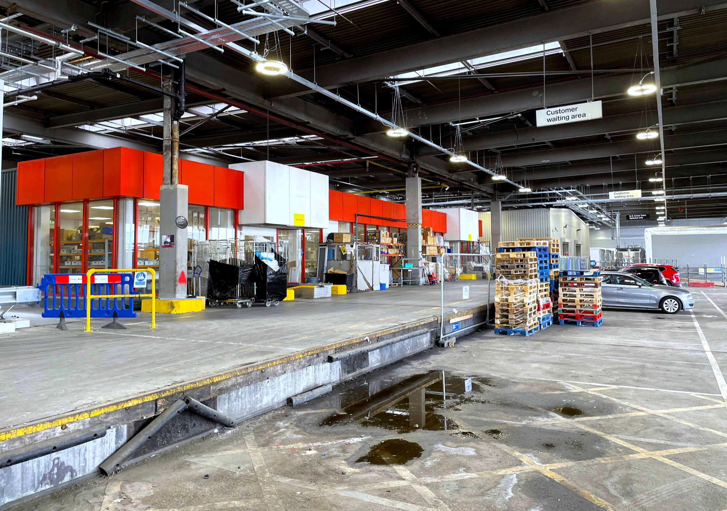
Former upper level parcels area now housing operational facilities for station service providers.
[© Adam Turner/Malcolm Rose 2024]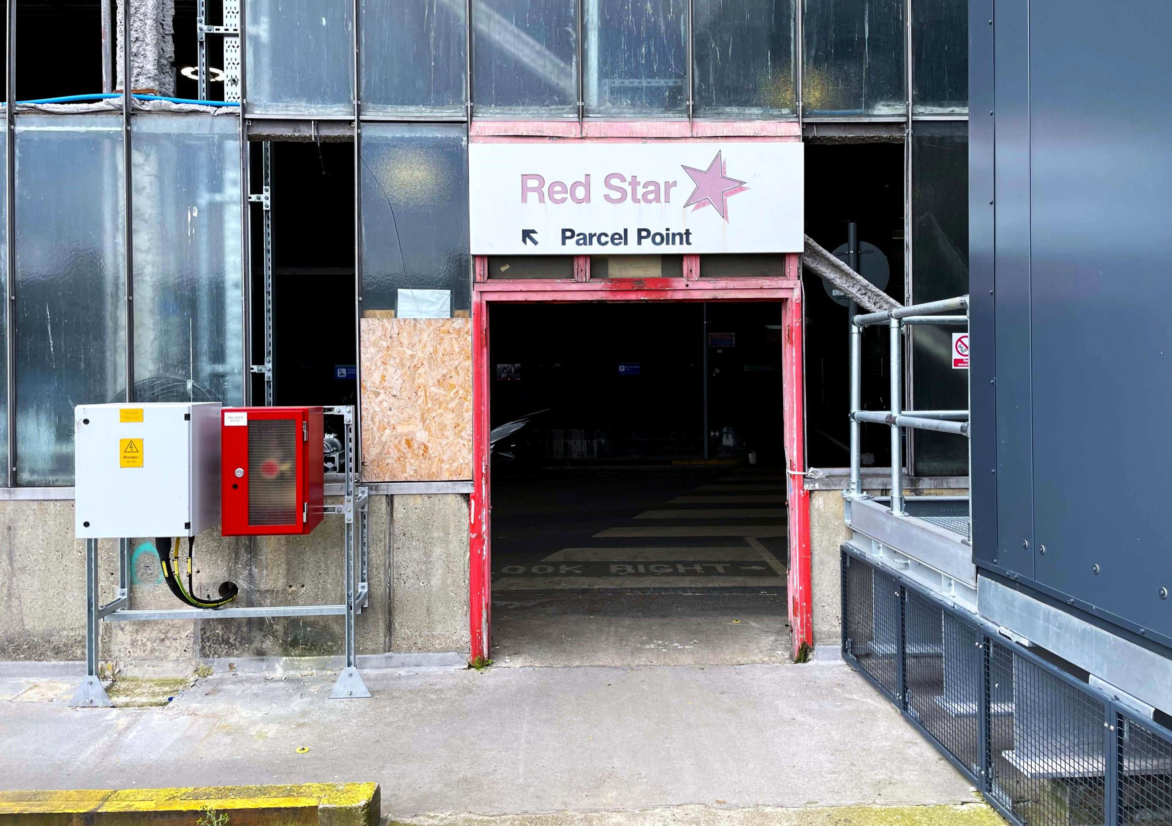
Pedestrian entrance to the former upper level parcels area.
[© Adam Turner/Malcolm Rose 2024]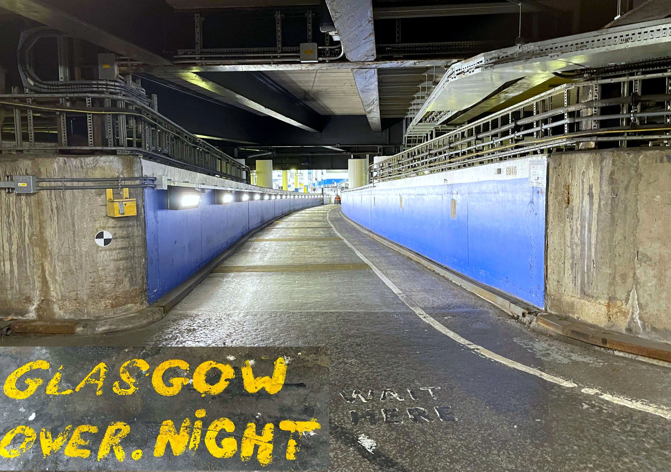
The area where BRUTEs* were positioned by postcode areas. Inset one of the destinations painted onto the floor.
[© Adam Turner/Malcolm Rose 2024]We had a thorough exploration of both the inside and outside areas of the upper level roadways and were able to view the railway lines from the station, including the section that was taken over by HS2 and the surviving roadway ramps for public and truck access to the former Red Star parcels area.
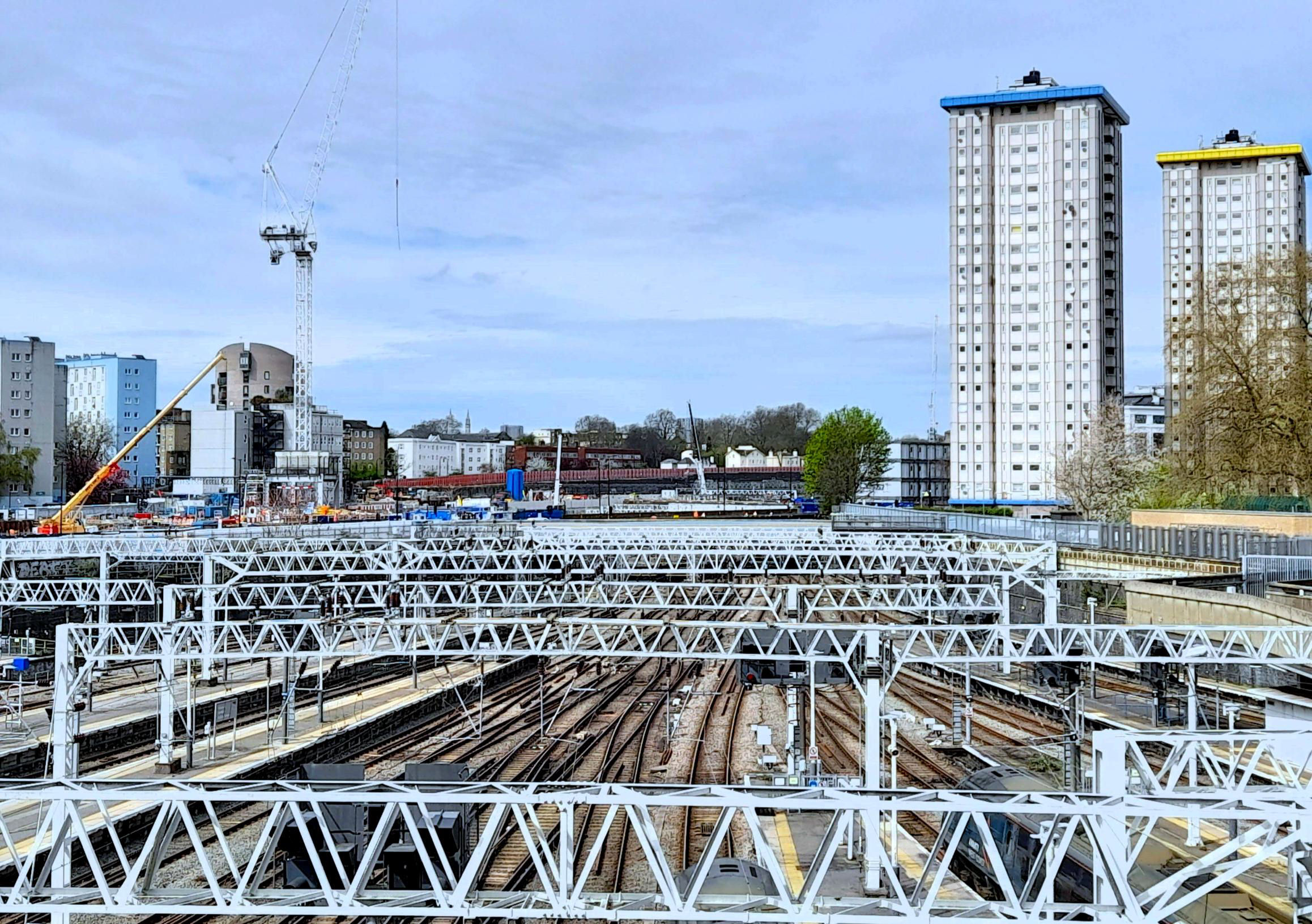
The view of the railway lines from the station from the upper level roadway.
[© Adam Turner/Malcolm Rose 2024]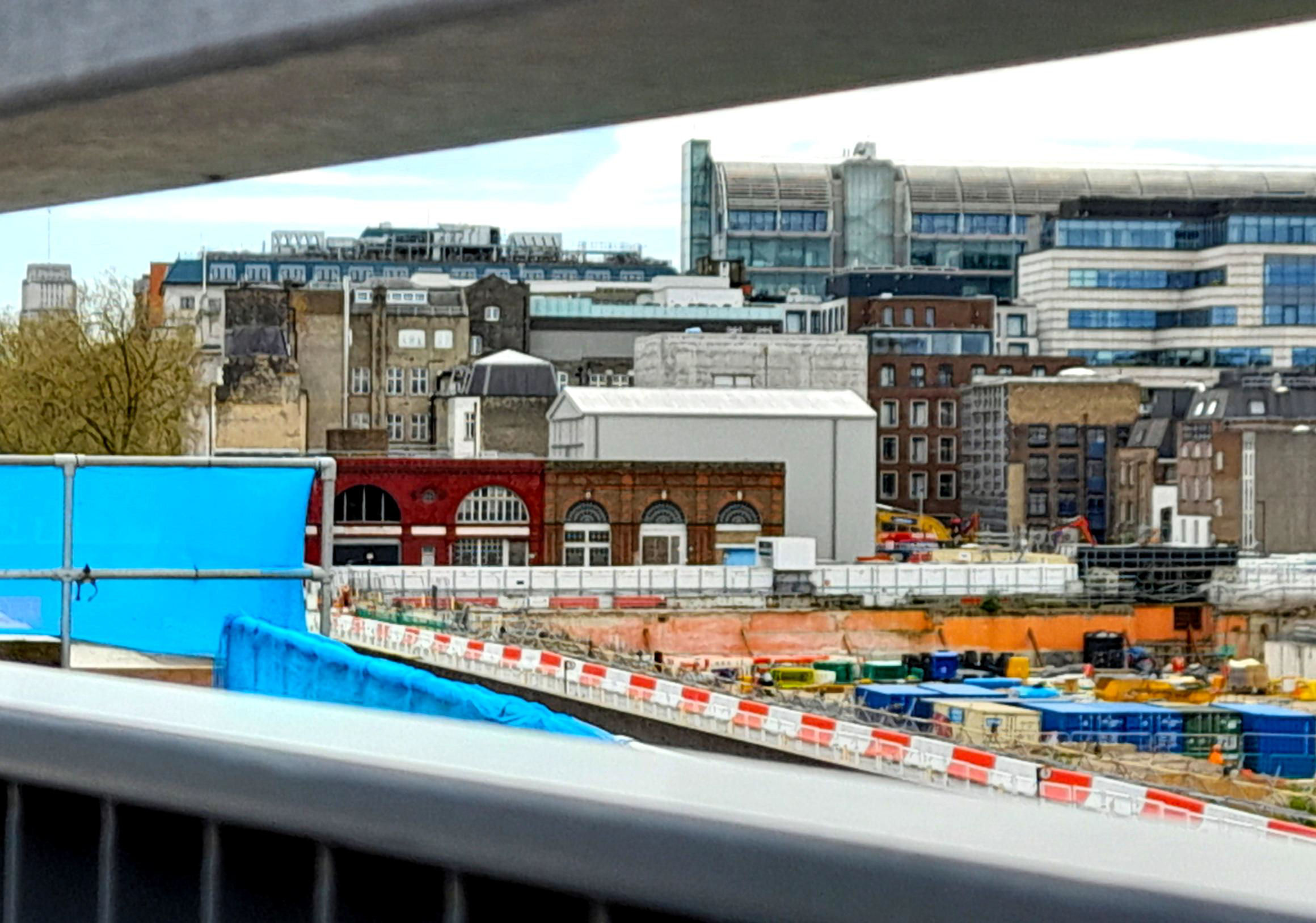
The view of the area taken over by HS2 from the upper level roadway.
[© Adam Turner/Malcolm Rose 2024]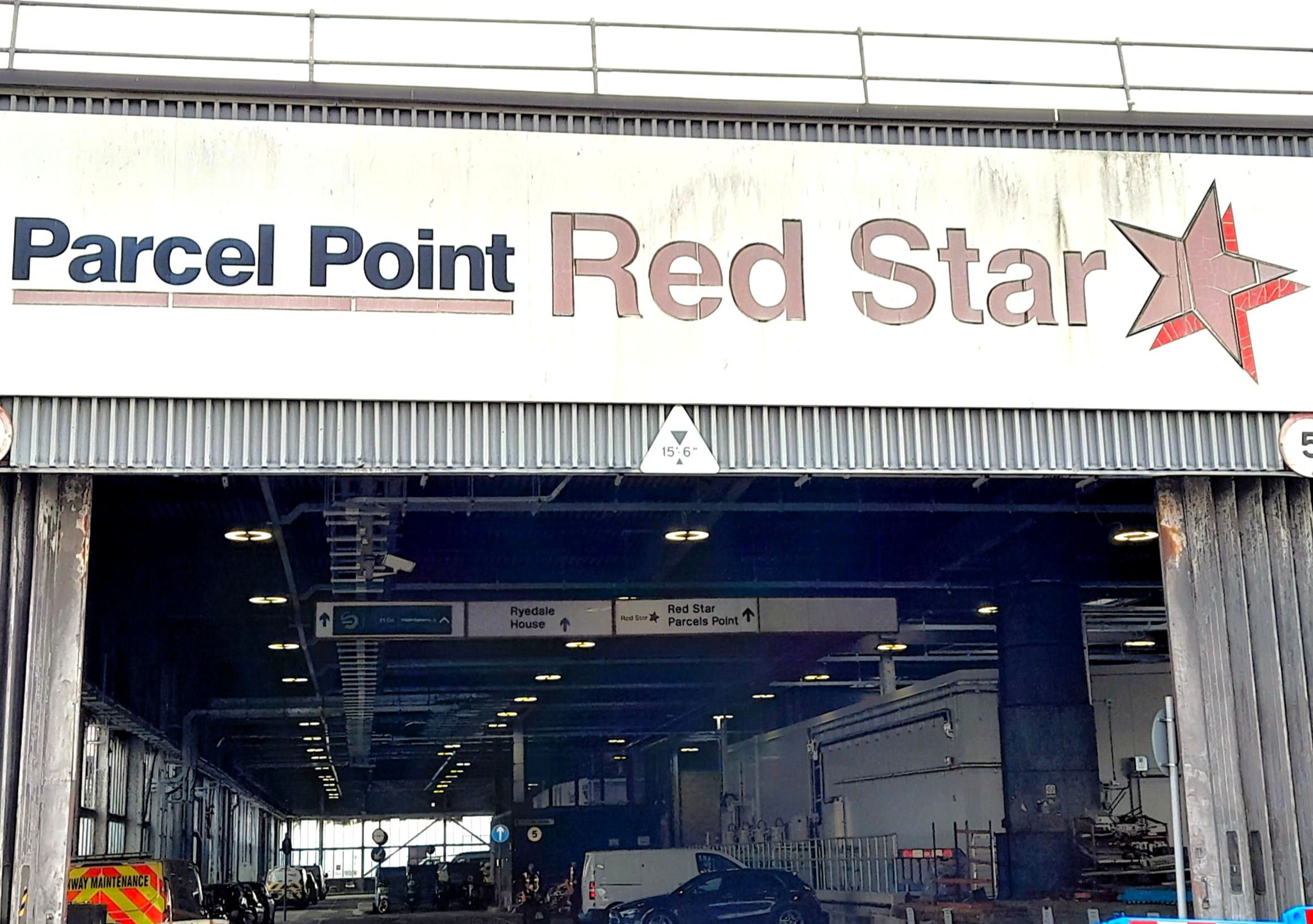
The surviving roadway ramps for public and truck access to the former Red Star parcels area.
[© Adam Turner/Malcolm Rose 2024]After exploring the upper level, we descended via the ramp to P1 to pass through the concourse to the outside piazza. Adam pointed out the original combined fountain and ventilation shaft from the taxi rank / car park area, the former London, Midland & Scottish Railway HQ (British Railway Board HQ after 1986) in Eversholt St and the office tower blocks that were part of the 1960's rebuilding - two are now demolished. Our group then went to Euston Road via the London & North Western Railway (L&NWR) 1914-18 war memorial to see the original entrance lodges (one now a bar). From there, we looked along the remains of Euston Grove to where the hotel shown in front of the Doric Arch in Adam's old photos would have fronted Drummond St, which then ran east-west along across the front of the arch.
One of the original entrance lodges which is now a bar.
[© Adam Turner/Malcolm Rose 2024]After a break, those who could reassembled for a train to Harrow & Wealdstone. On arrival at P5 there, Adam showed us photos and then a track plan of the tragic crash of 8 Oct 1952 that occurred here. We then walked from the P1 exit via the south end road bridge to the station main entrance to view the former Stanmore Village branch platform. We were thwarted as NR had recently increased the height of the wall so we had to do with a view from the walkway from the main building to P6!
Harrow & Wealdstone P7 towards London once for branch trains to Belmont (CP 5 Oct 1964) and on to Stanmore Village (CP 15 Sep 1952).
[© Adam Turner/Malcolm Rose 2024]Outside the main entrance Adam pointed out the L&NWR stone initials contained in the balustrade stone relief on the front of the building and the combined clock tower and chimney. There is also a memorial to the 112 people that sadly lost their lives in that 1952 crash.
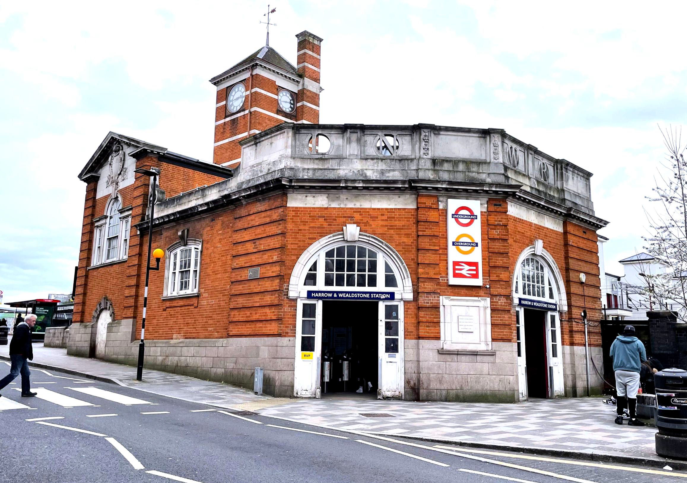
Harrow & Wealdstone Station
[© Adam Turner/Malcolm Rose 2024]Our group then travelled to Hatch End; it is in a similar style to Harrow & Wealdstone, built in 1911 on the original station site of 1842 (named Pinner when first opened), which features a cupola with clock, weather vane and a fine relief in stone high on the front façade and a plaque denoting the architect. In architecture, a cupola is a relatively small, most often dome-like, tall structure on top of a building, frequently used to provide a lookout or to admit light and air; it usually crowns a larger roof or dome.
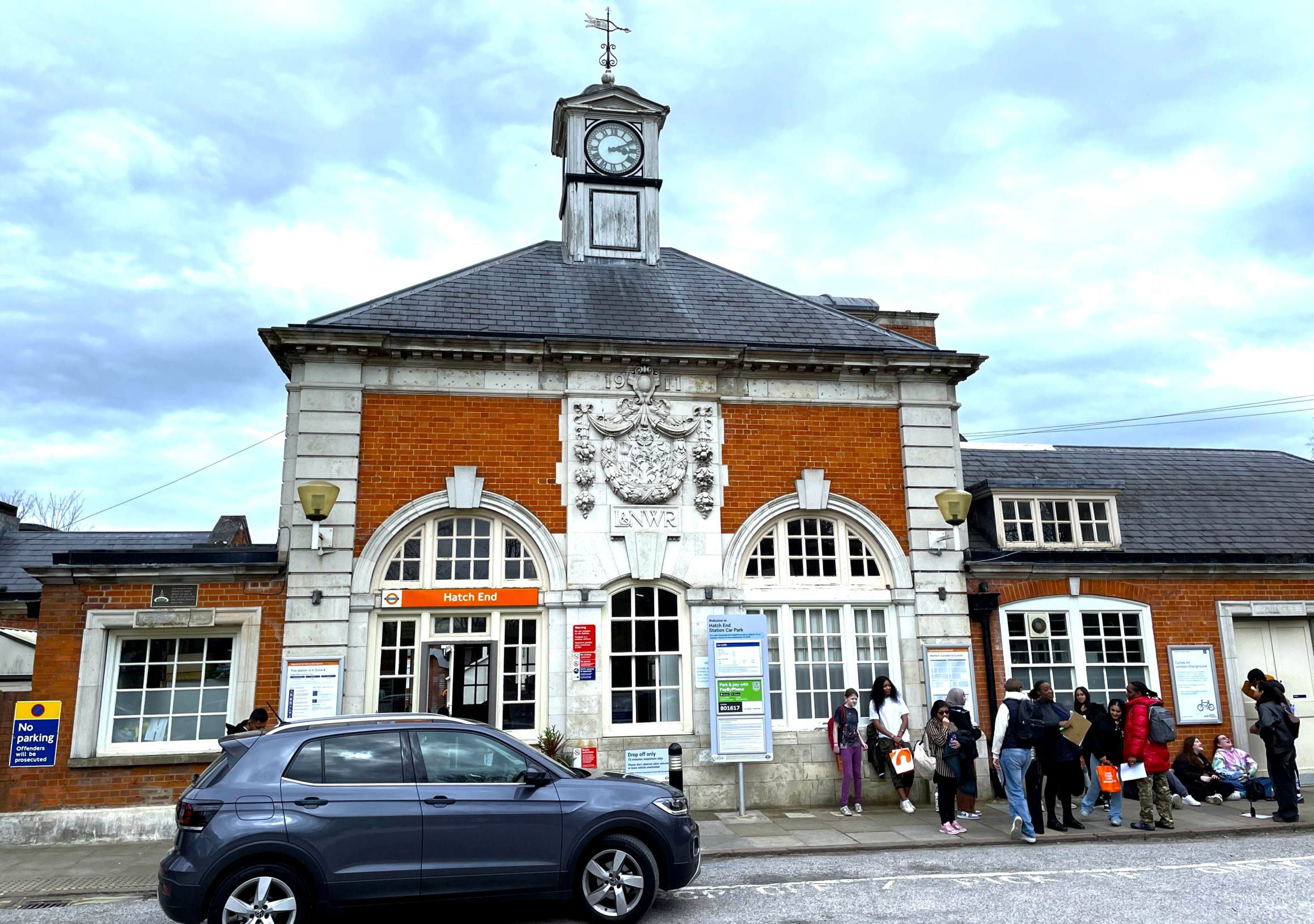
Hatch End station.
[© Adam Turner/Malcolm Rose 2024]
The fine relief in stone high on the front façade.
[© Adam Turner/Malcolm Rose 2024]On behalf of the participants, a big thank you to Adam for arranging a very interesting visit and to Darren at Euston station for his recollections of activities there over the many years he has been there. Despite industrial action reducing attendance, pleasingly, our tour raised £300 for 'Help for Heroes'.